Tenaya Canyon
When: 2016-09-16 to 2016-09-18
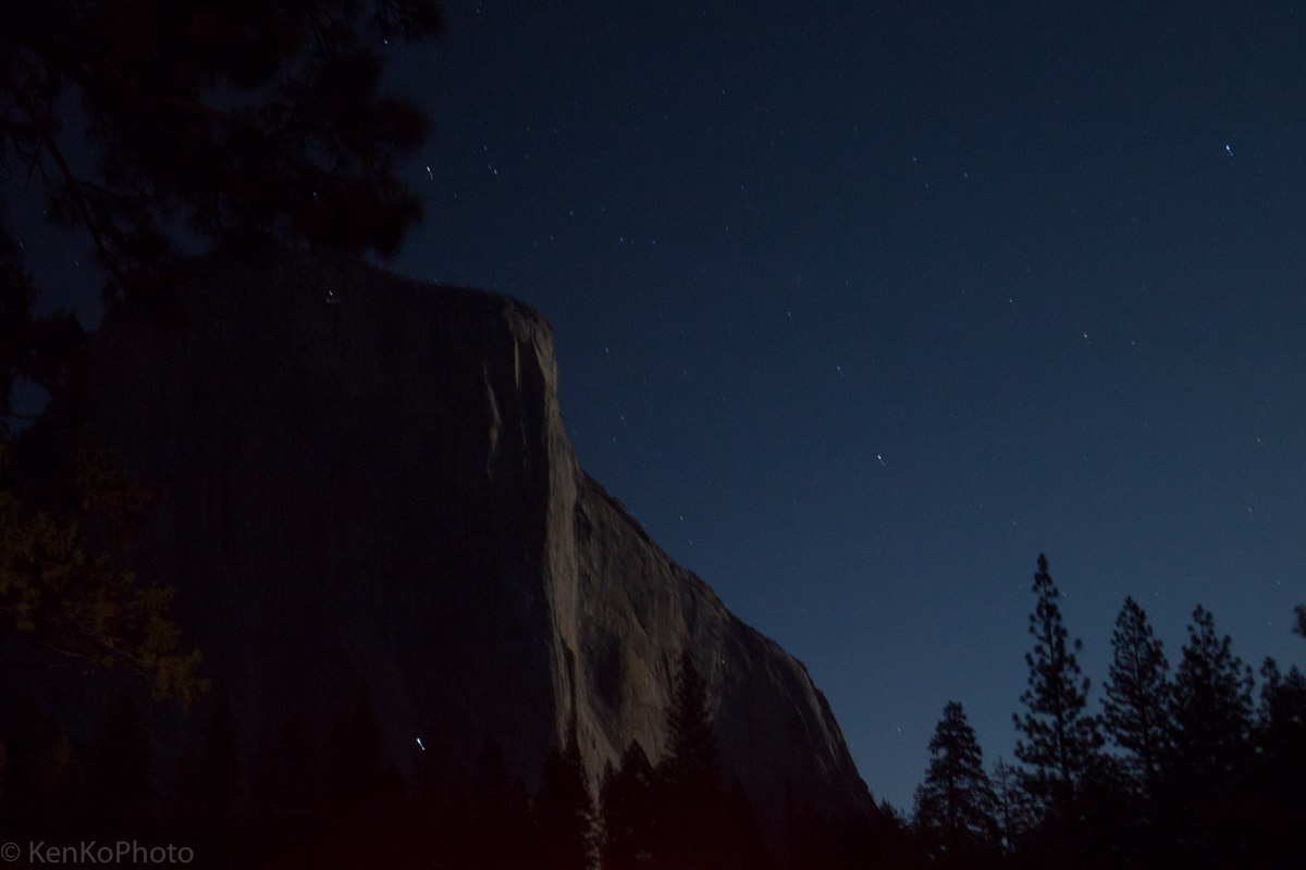
Friday Night
|
El Capitan, as seen by the moon's light |
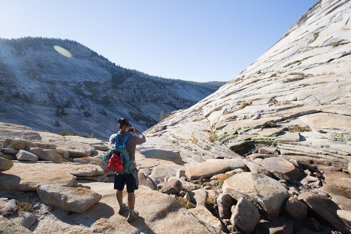
Glacial Valley

|
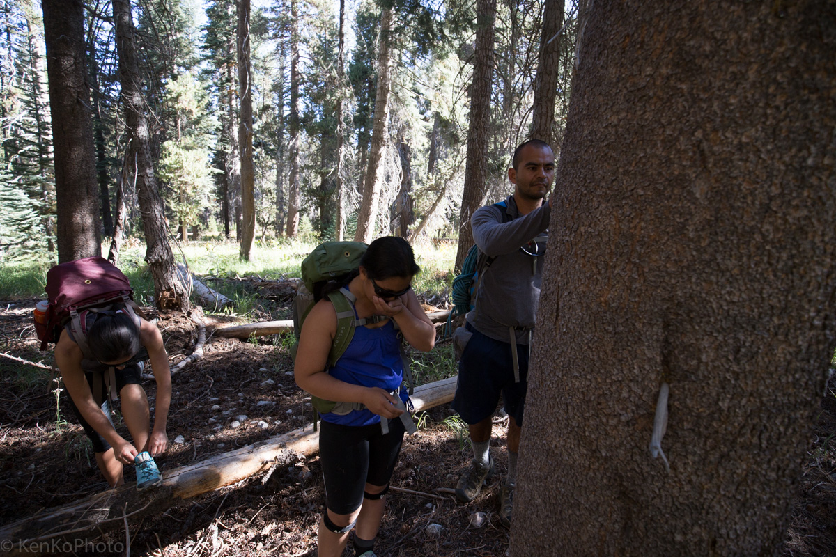
Francisco Rios as we deviate from the trail |
Staying off-trail, we eventually find ourselves at a single, ominous warning sign... or a welcoming invitation, depending on who you ask. The first, of many, key landmarks which will guide us.

|
"THIS IS NOT A TRAIL. TRAVEL BEYOND THIS POINT IS DANGEROUS WITHOUT CLIMBING EQUIPMENT. RETURN TO TIOGA ROAD." |
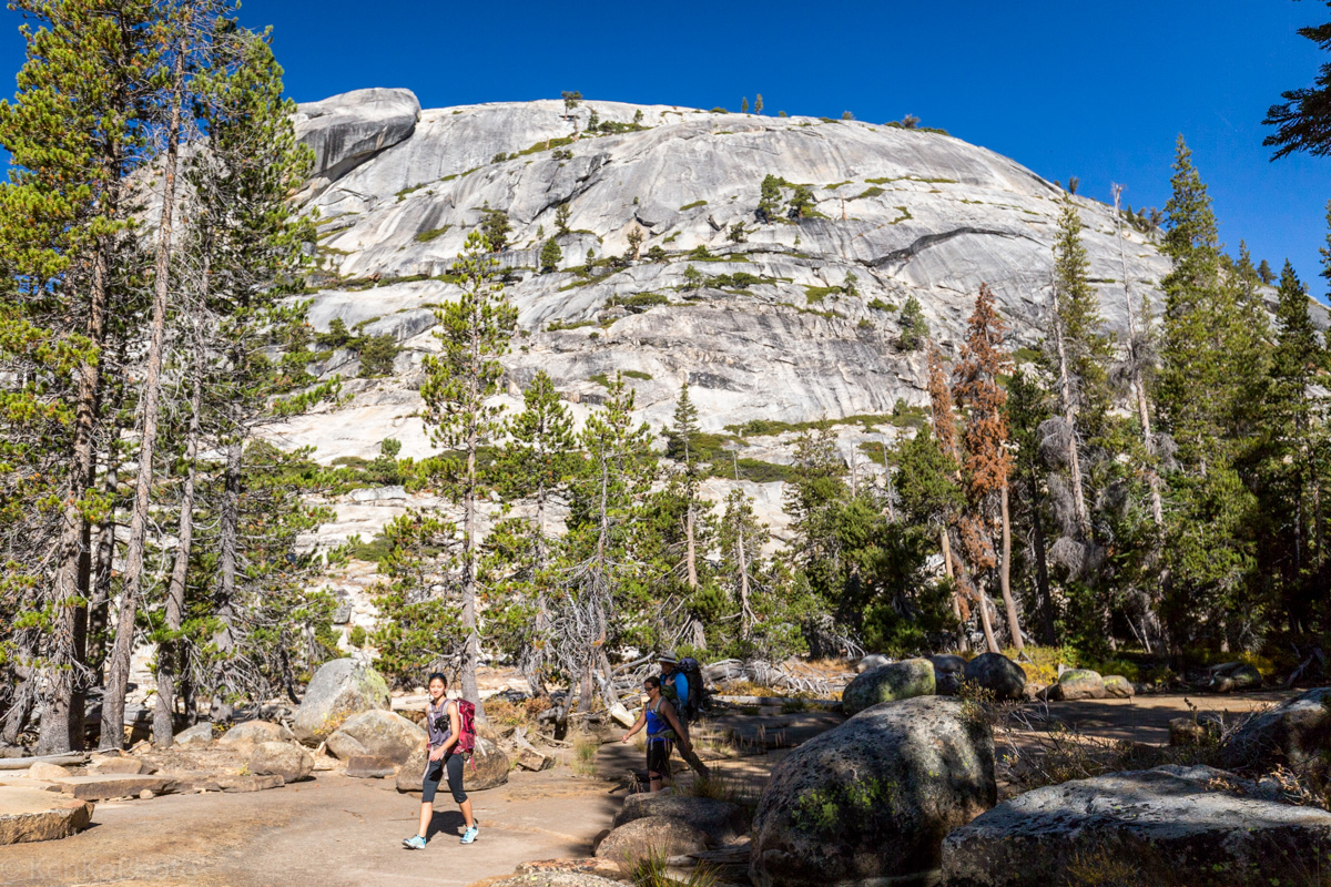
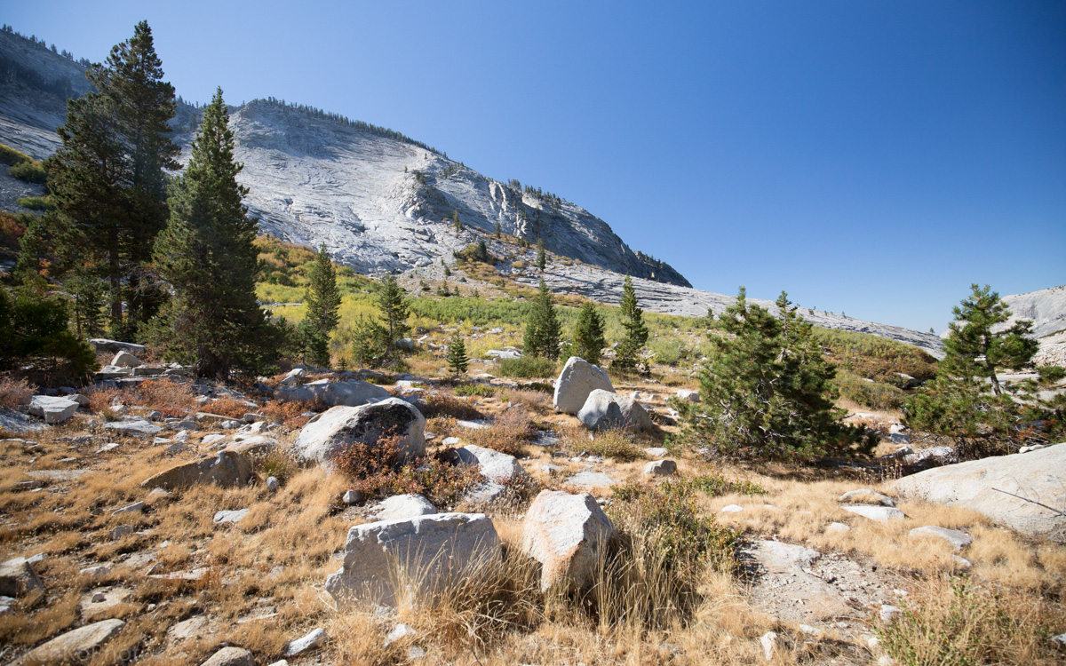
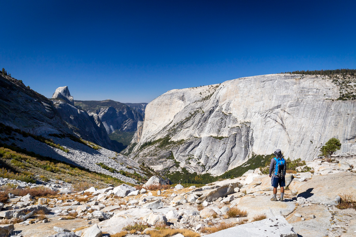
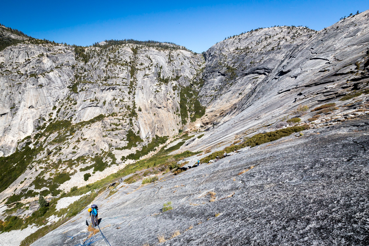
Shortly after passing the warning sign, we end up at the top of Glacial Valley. The walls of the upcoming valley are daunting, to say the least.
|
Francisco documenting the beginning of the Glacial Valley descent. |
|
Tim, Sara, and Sheila as the scrambling descent begins. |
We started out fast, earlier in the morning, due to unexpected cold weather. Gloves and jackets, type of weather. The initial trail involved a lot of tree cover; it wasn't until now that we were able to finally warm ourselves up in the sun.
|
Francisco, Tim, Sheila, and Sara warming up. |
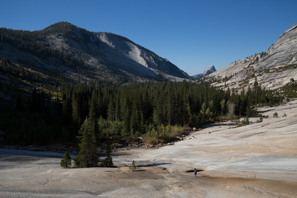
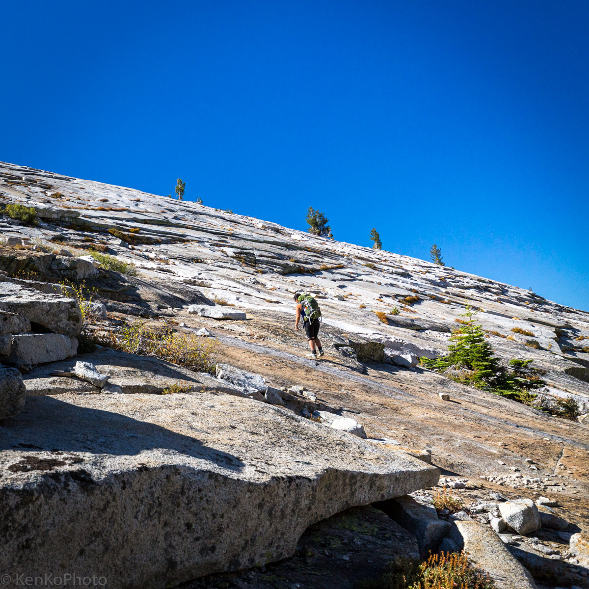
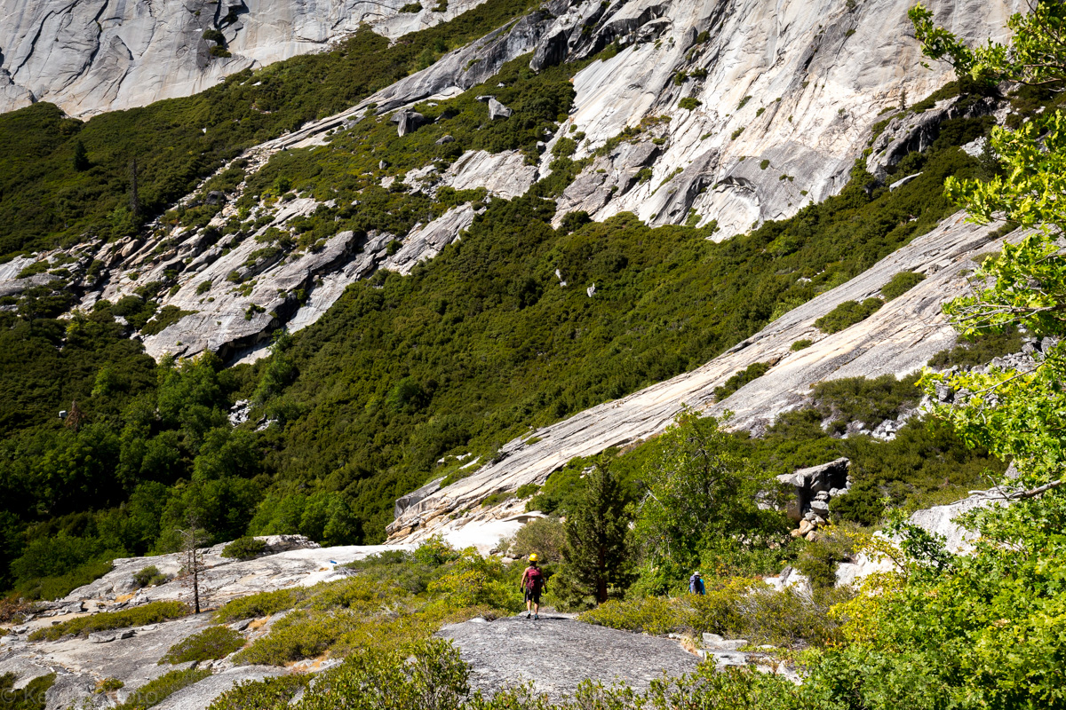
After a few minutes, we started down the gentle slope at the top of Glacial Valley. Leading the group was Francisco who ended up running down the granite.
|
Francisco, seen as a small dot. |

|
Francisco taking photos of the rest of the party as they descend the granite bowl. |
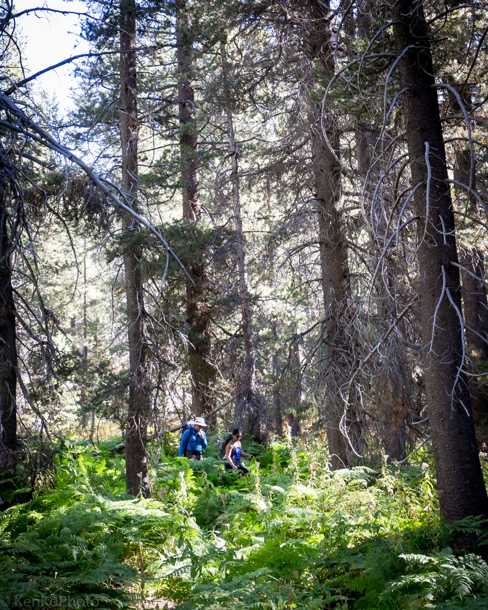
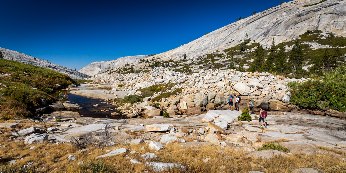
Upon reaching the bottom of the low angle granite slabs of Glacial Valley, we were met with a small wooded area.
|
Tim and Sheila navigating the woods. |
|
Sara, Sheila, and Tim exiting the wooded area. |
|
Tim, Sheila, Sara, and Francisco navigating through the pine forest. |
On the drive up to the trailhead, it was brought up that there was a tree whose bark smelled like butterscotch. Fortunate for us, we ended up finding a few.
|
Sara, Sheila, and Francisco taking a break near a Ponderosa Pine. |
|
View as we leave the pine forest. |
|
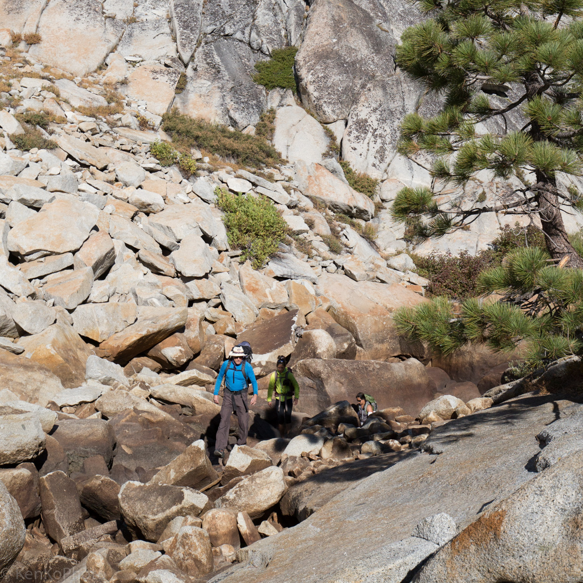
Francisco, Tim, Sheila, and Sara navigating the granite wilderness. |
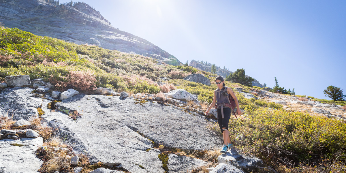
At this point, we were confronted with bushwhacking through thick branches. Some of the party members were able to return with souvenirs from this section of the trail.

|
Tim as he goes around the heavy bush--a great idea, in hindsight. |

|
Sheila bushwhacking. |

|
Sara exiting the branches. |
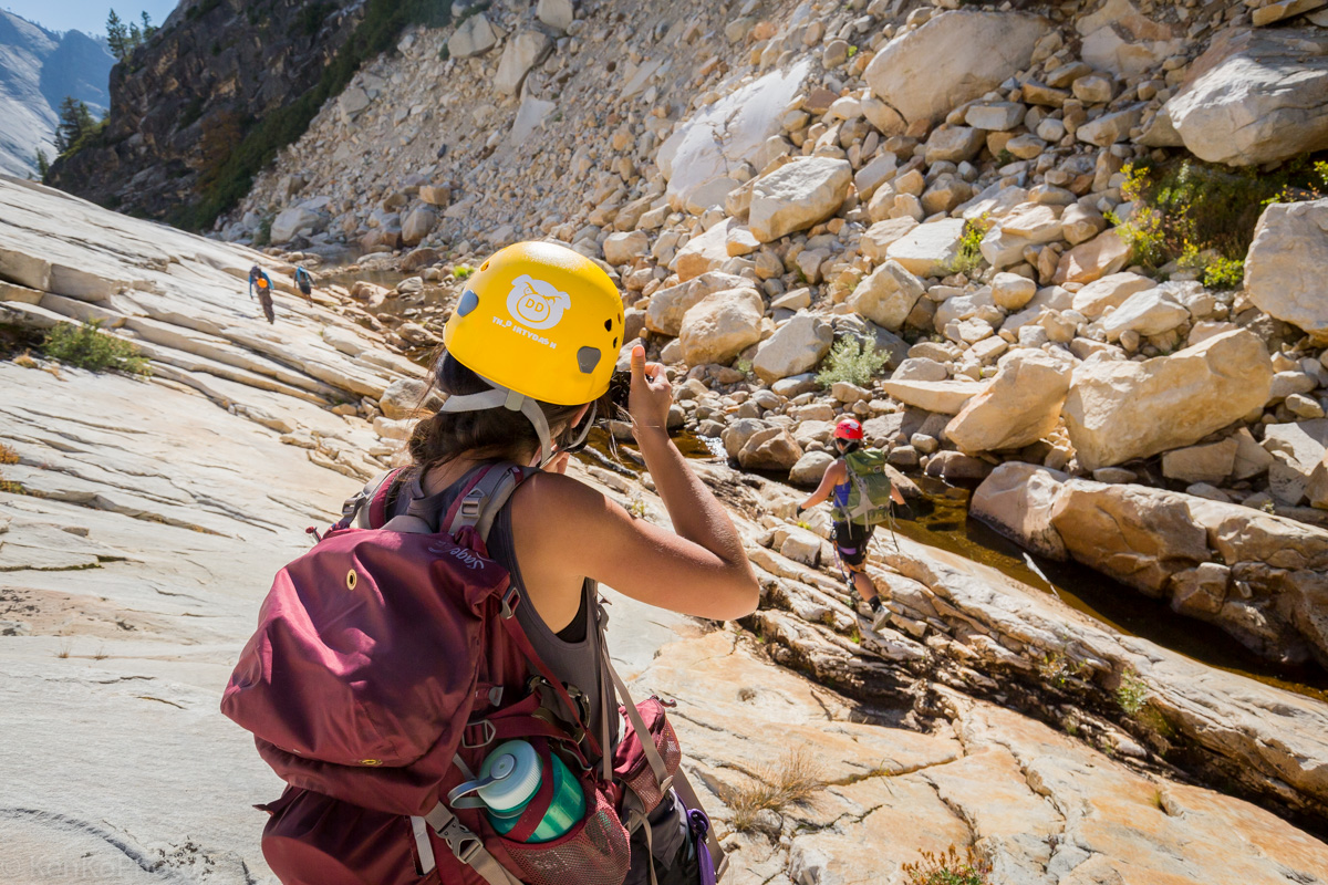
After the unexpected bushwhacking, we found our next landmark: a tree. The idea is that we do not want to head down the wall and toward the creek bed. Instead, we needed to gain elevation to avoid eventually downclimbing the Pywiack Cascade.
|
Sheila making a bee line to the next landmark: a particular, nondescript tree. |

|
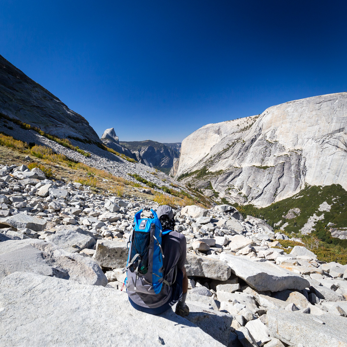
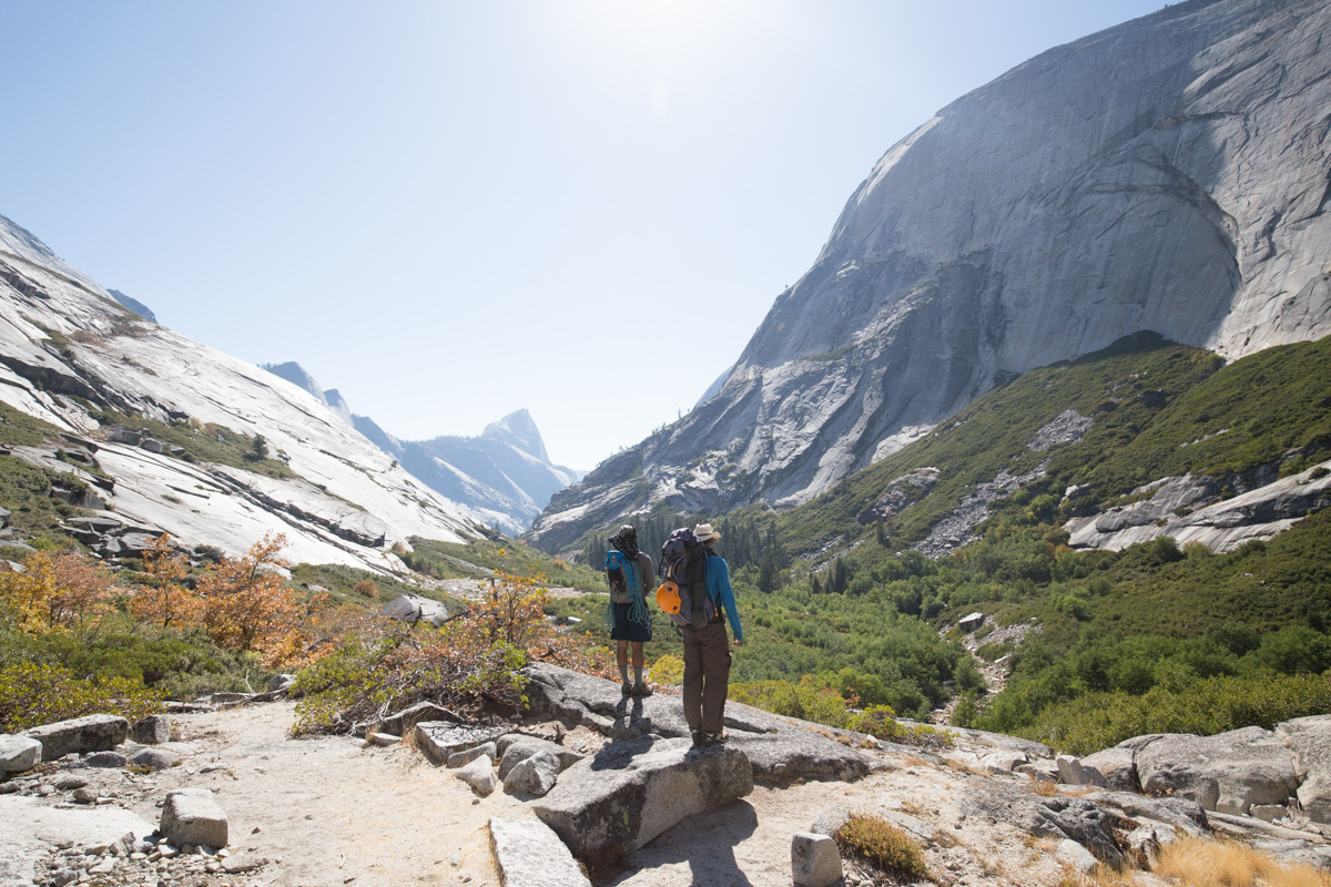
Tim looking down the canyon, at Half Dome. |

|
Sheila and Sara celebrating. |
|
Francisco looking at Half Dome. |
|
Francisco really looking at Half Dome. |
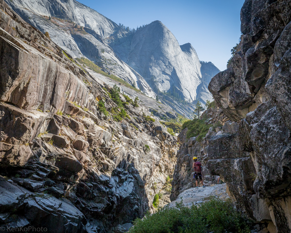
Lost Valley
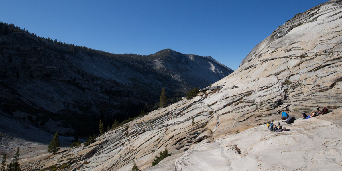
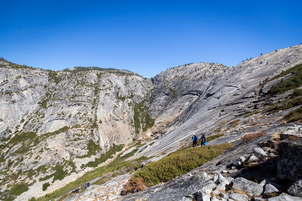
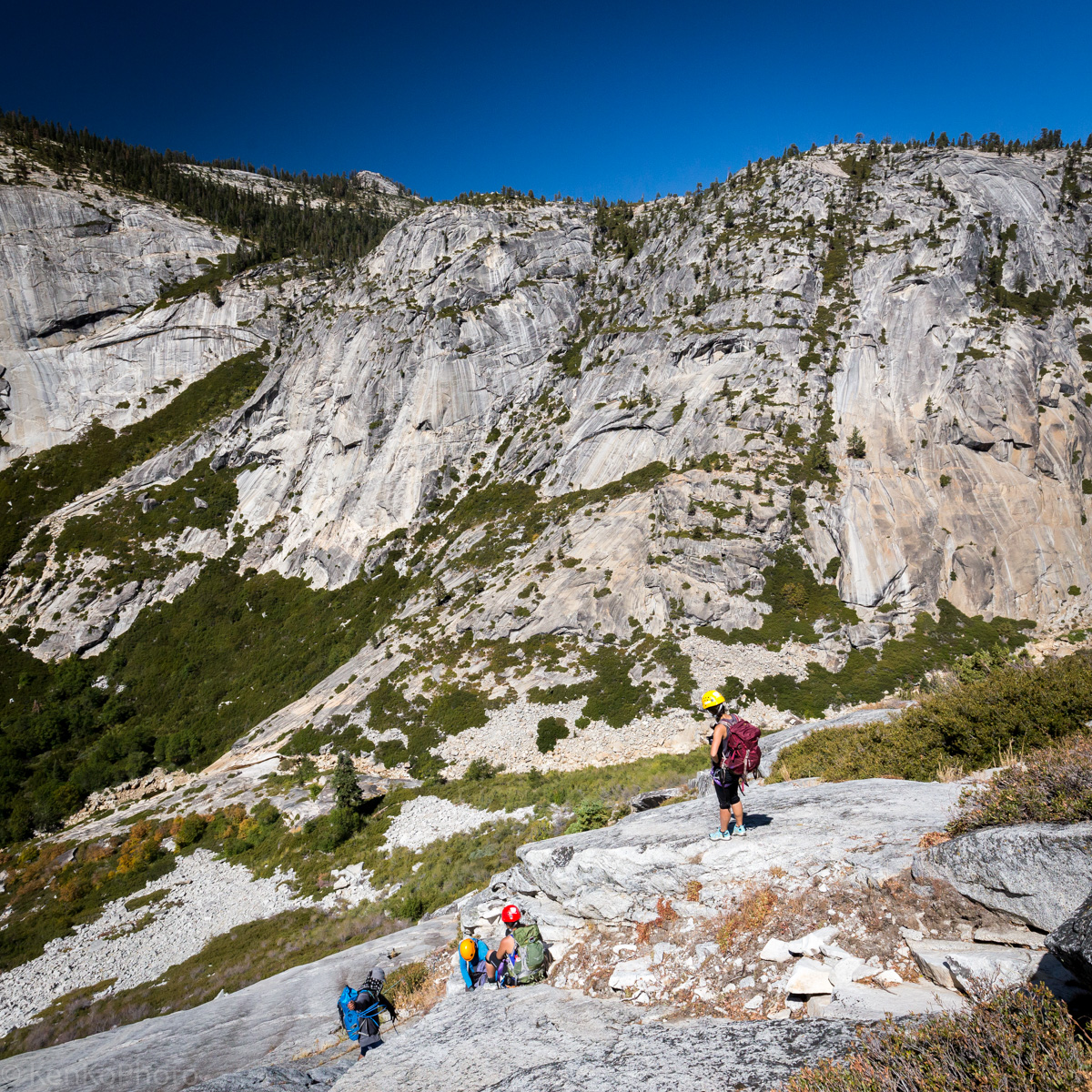
Francisco and Tim warned us that the hard part was coming up, as we left Glacial Valley; they weren't joking. Considering that we just finished a leisurely walk, the slab descent was slightly surprising.
|
Tim and Francisco leading the way down the daunting granite slab. |
|
Sara starting the descent of the large granite slab. |
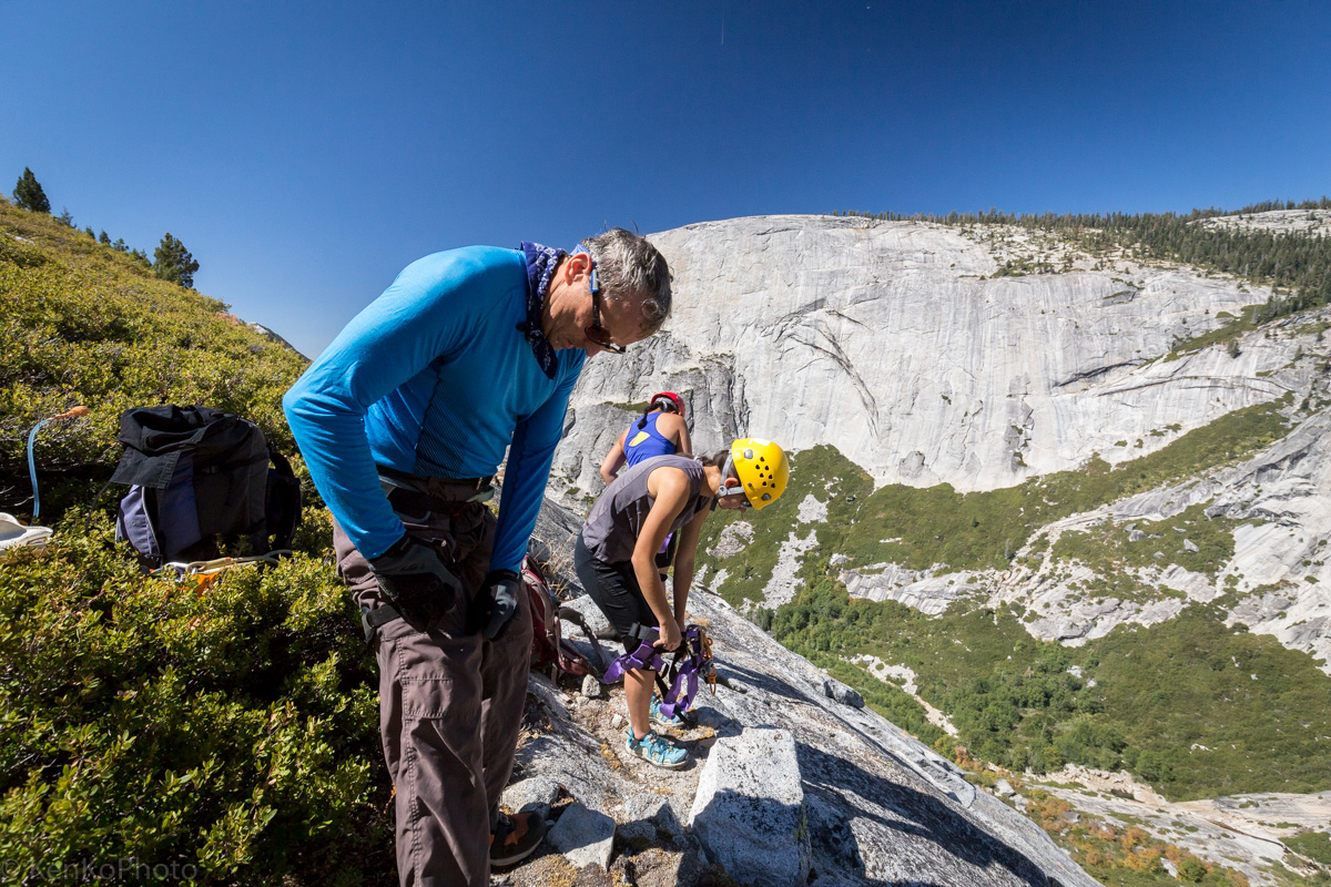
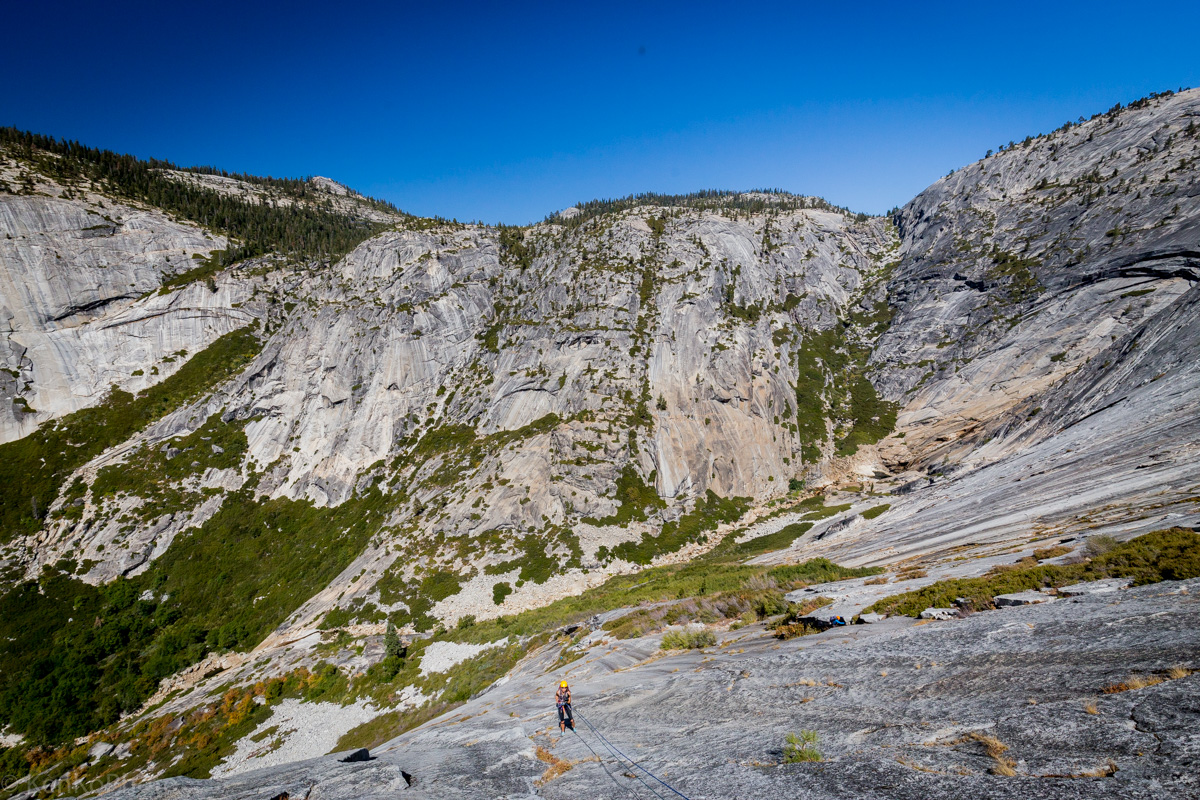
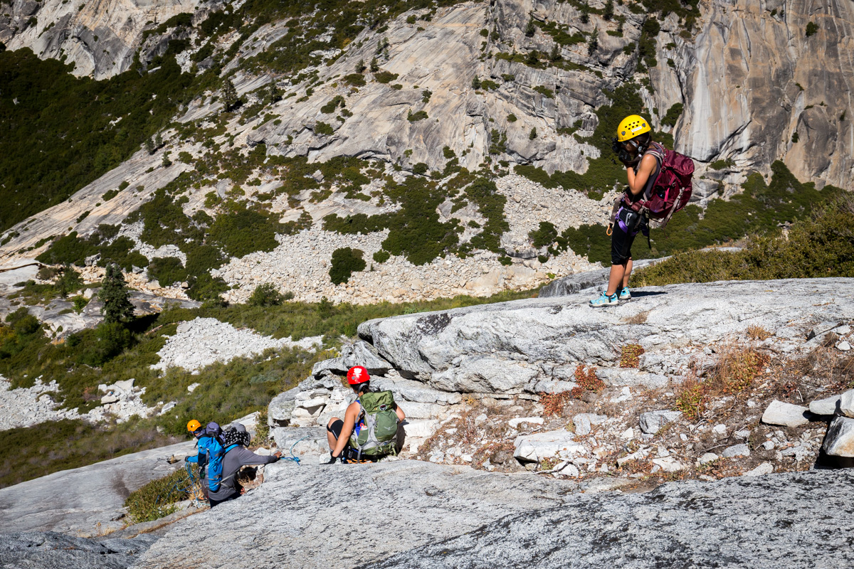
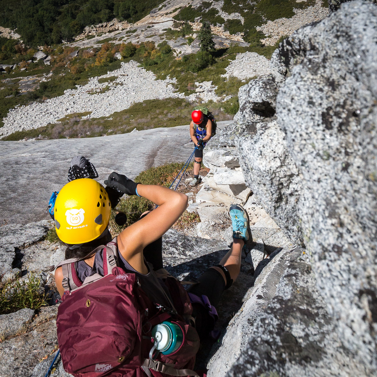
From his experience last year, Tim wanted to try descending this large granite slab via rappel. So we gave it a shot. At the end of the ropes, there was a short unprotected traverse to a patch of bushes.
|
Tim, Sara, and Sheila prepping for the rappel. |
|
Tim rappelling down the Lost Valley granite slab. |
|
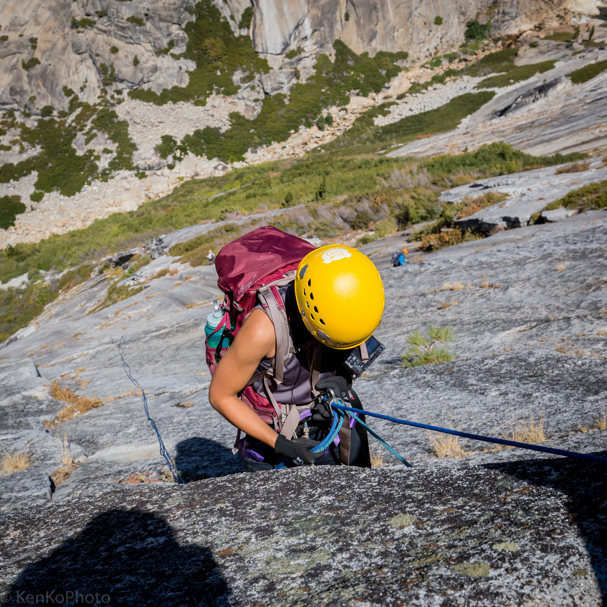
Sara inspecting her harness setup. |
|
Sara rappelling. |

|
Sheila rappelling. |
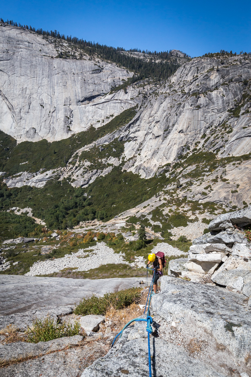
Navigating down the slab via a route near bushes, we ended up near our second rappel spot.

|
Sara photograping Sheila with the Lost Valley as a backdrop. |
For the second station, Francisco sets up the rappel on a corner of granite.
|
Francisco, Tim, Sheila, and Sara at the second rappel station. |
|
Sara photographing Tim, Francisco, and Sheila. |
|
Sara photographing Sheila during her second rappel. |
The anchor here is clearly quite bomber. No other words can describe it.
|
Sara on the second rappel. |
The prior rappels needed to be reversed. After Sara, Sheila, and Tim rappelled down, Tim decided to climb up. Sara and Sheila were belayed by myself as they climbed up the slab. Three hours later, we neared the base of the granite slab.
|
Sara and Tim approaching the base of the valley. |
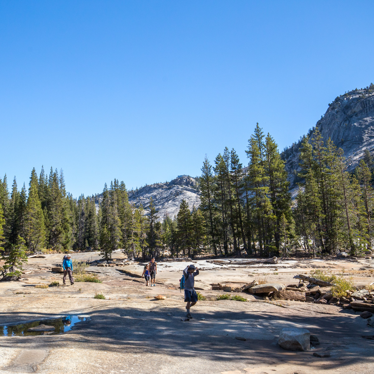
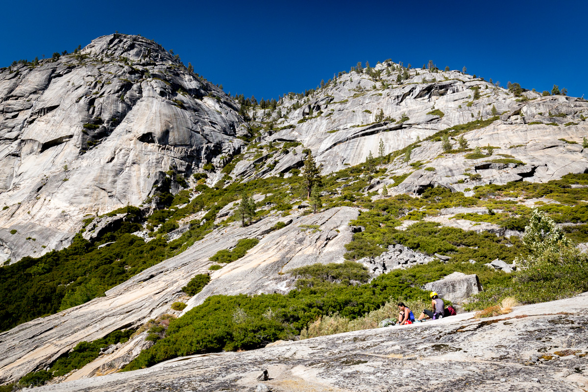
After descending the slab, there was more bushwhacking involved. At the bottom, we rejoined the creek bed. Walking through talus fields and entering the woods, we eventually found a couple pools of water to relax and eat lunch at.

|
Tim, Sheila, and Francisco relaxing for lunch. |
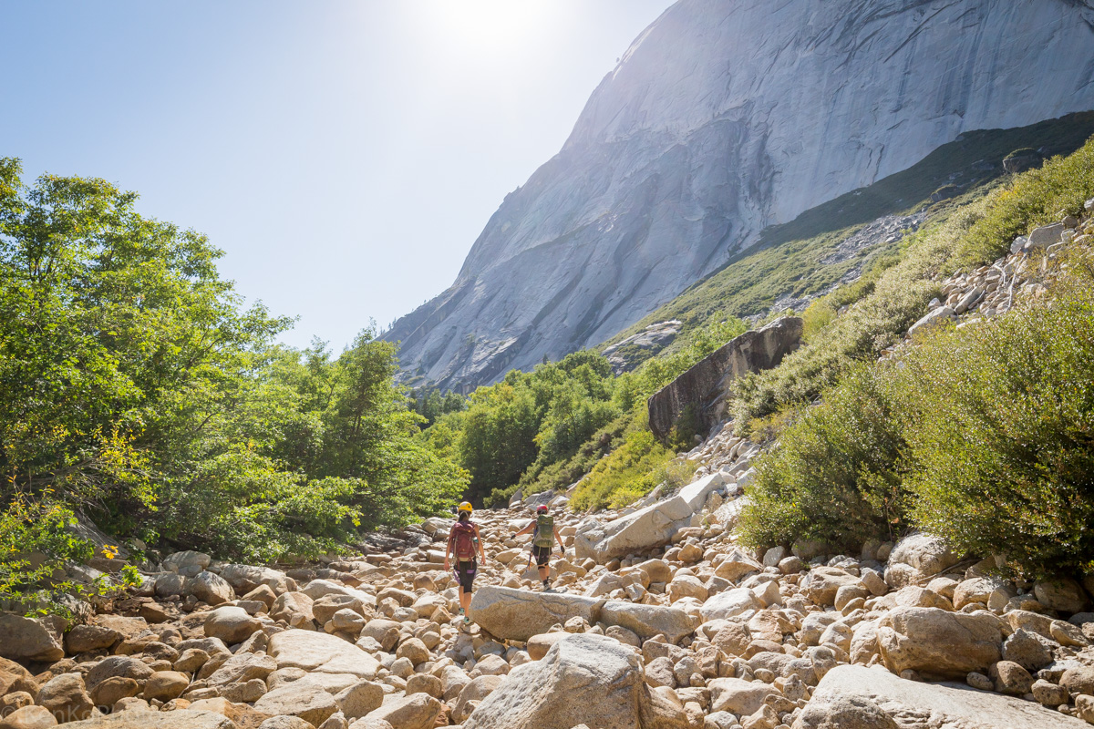
After lunch, we descended further down into the Lost Valley. Most of this was easy scrambling as we followed the creek bed down.
|
Francisco and Tim about to head out from our lunch spot. |
|
Sheila and Sara packing up. |

|
Tim and Francisco descending the creek bed. |
|
Sara and Sheila navigating talus fields at the lower part of the Lost Valley. |
|
Sara photographing Sheila. |

|
Francisco and Tim along the lower section of the Lost Valley. |

|
Sara navigating her as we approach the Inner Gorge. |
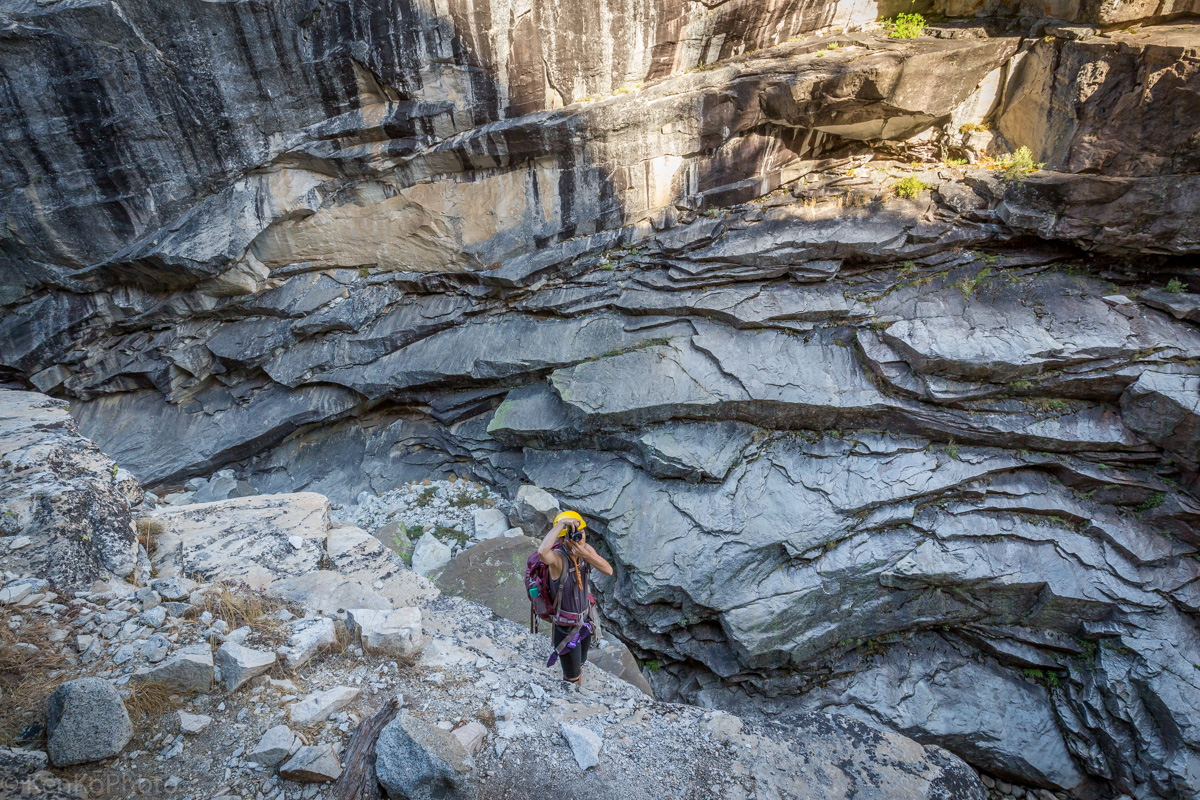
Inner Gorge
|
Sara at the edge of the Lost Valley and Inner Gorge. |

|
Francisco celebrating as we setup the first rappel station. |
|
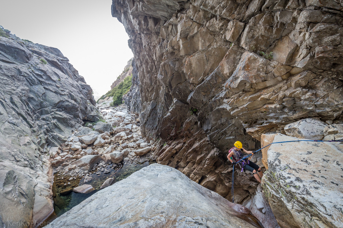
Sara photographing an out-of-frame Sheila rappelling. |
|
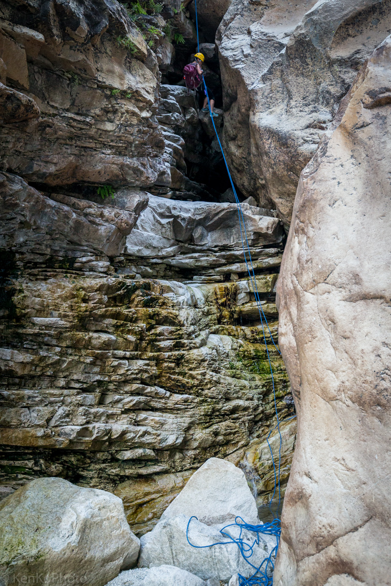
Sheila descending the first rappel within the Inner Gorge. |
|
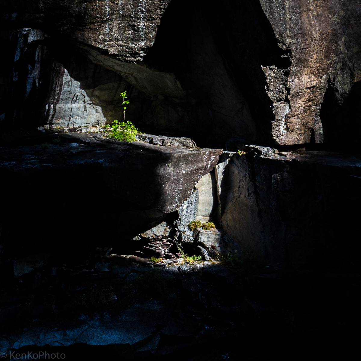
Plants on the other side of the first Inner Gorge rappel station. |

|
Sara at the first rappel station as Tim provides a fireman's belay. |

|
Sara and Sheila upon completing the first Lost Valley rappel. |

|
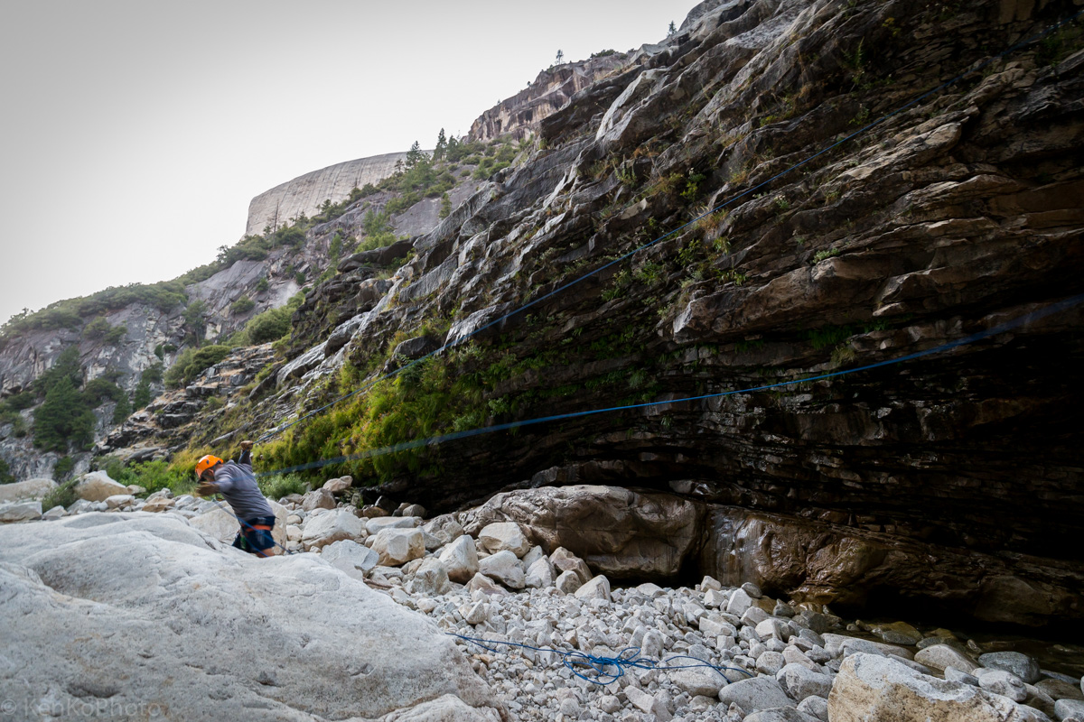
Tim bringing the rope to dry land after all the rappels have been completed. |

|
Francisco silhouetted at the second rappel station. |

|
Sheila solving the immediate bouldering problem. |
|
Sara rappelling into a pool of water at the second station. |

|
Sara descending into a hole. |
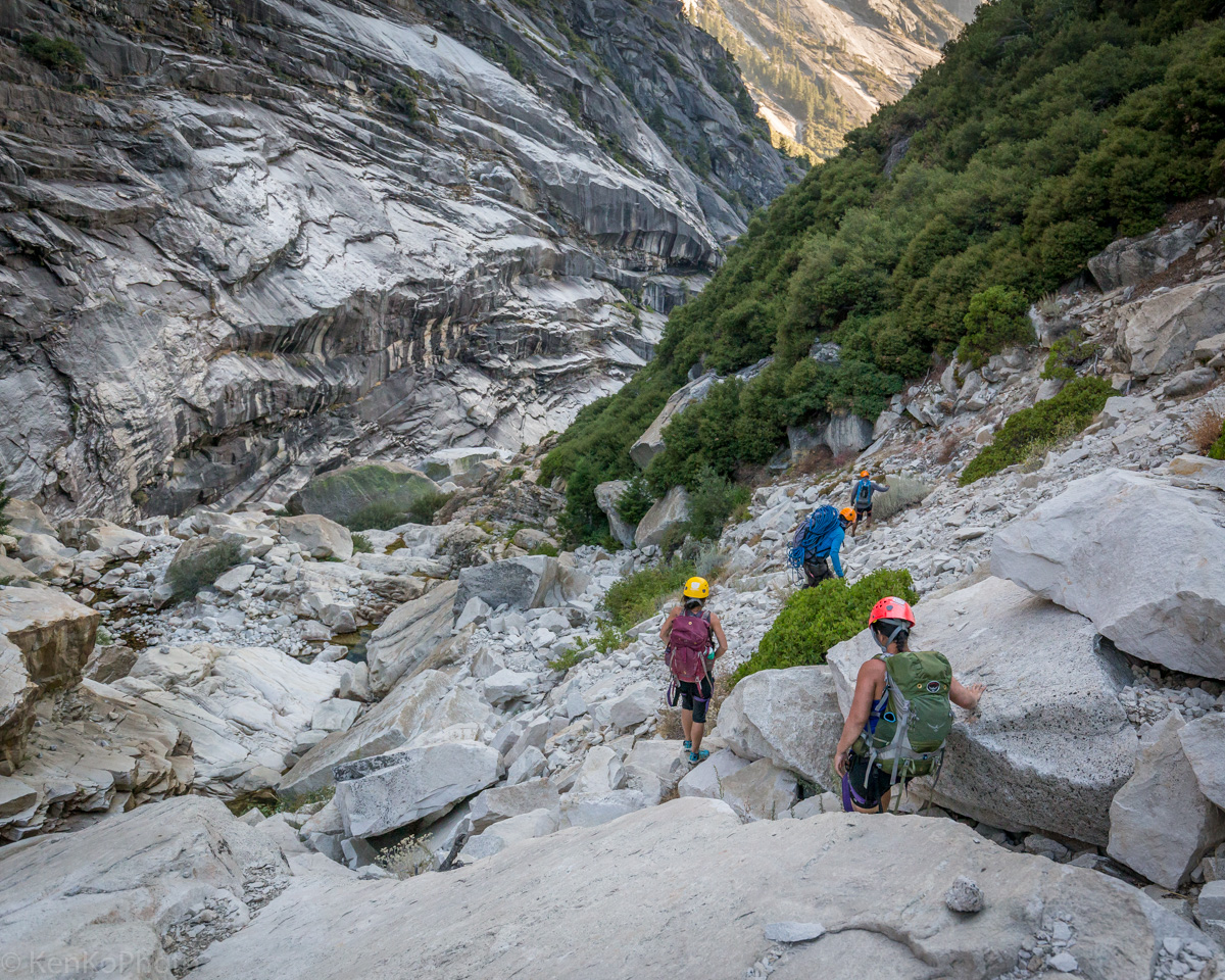
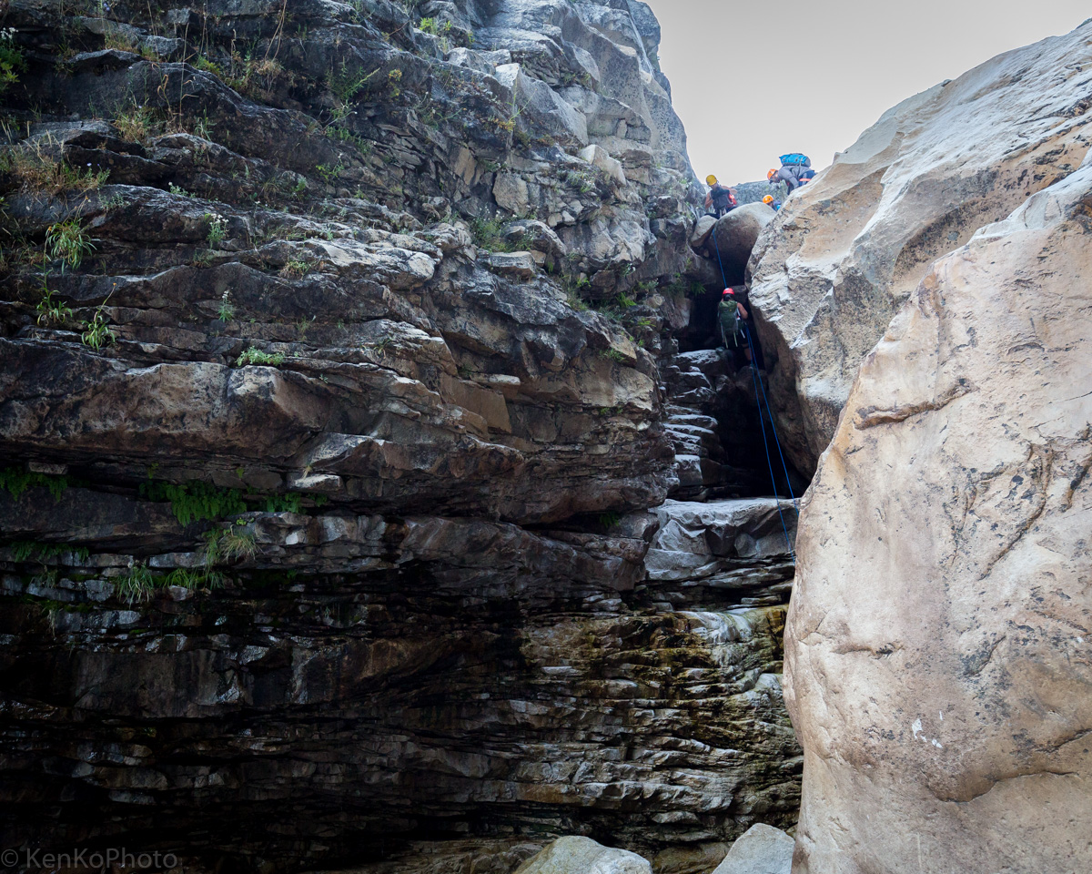
The distance between the second and third rappel stations is a bit of a hike.
|
Francisco, Tim, Sara, and Sheila descending talus fields. |
|
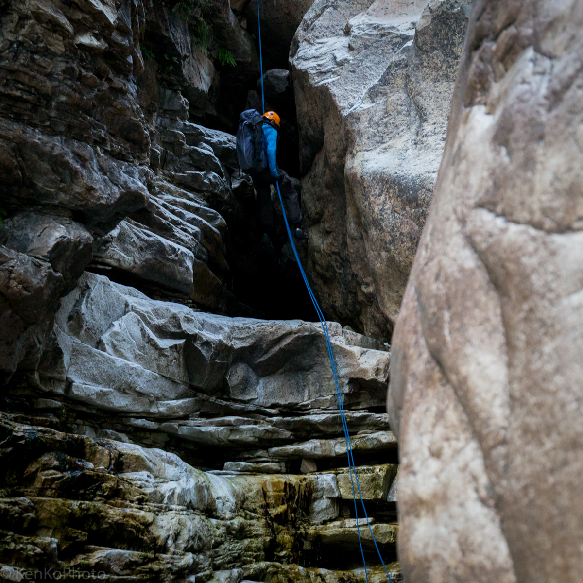
Sheila rappelling at the third station. |
|
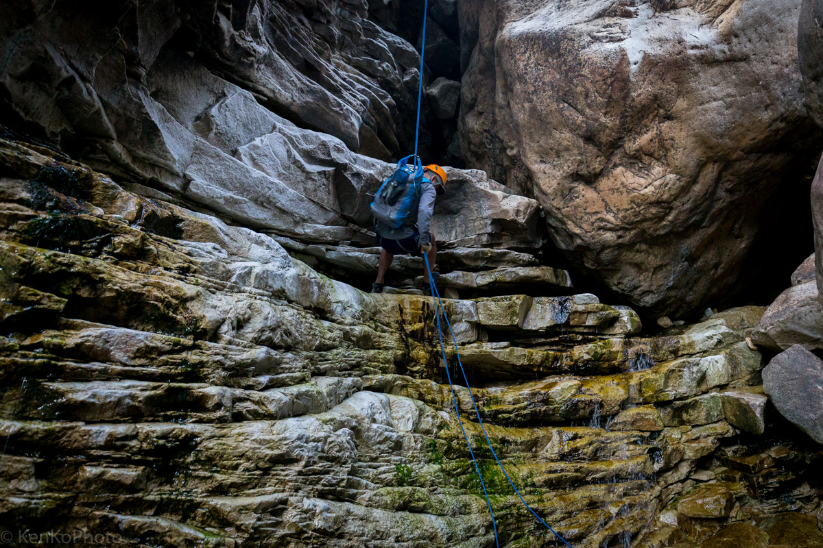
Sara descending at the third rappel station. |
|
Tim at the third rappel. |
|
Francisco completing the third rappel. |
|
Francisco pulls ropes stuck at the third rappel station. |
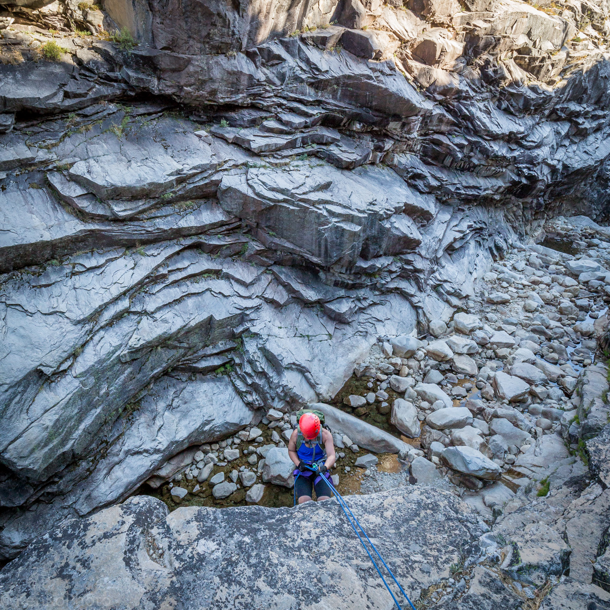
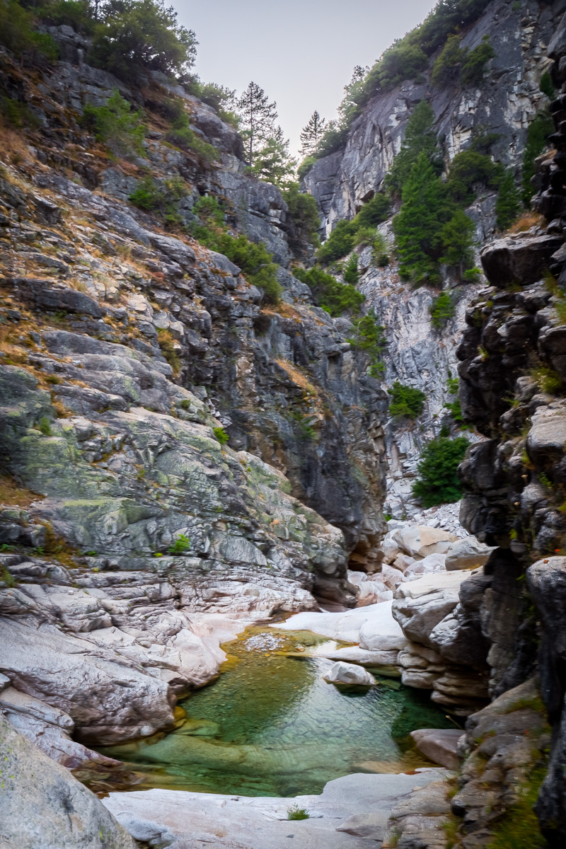
Between the third and fourth rappel stations, we encountered yet another pool of water before a short talus field.
|
Water pool between the third and fourth rappel stations. |
Sunday Morning
During the previous night, shortly after the fourth and last rappel, we encountered an unknown set of animals that resembeled a raccoon--but not quite. In the morning, Tim brought out a book and found the answer: we saw ringtails.

|
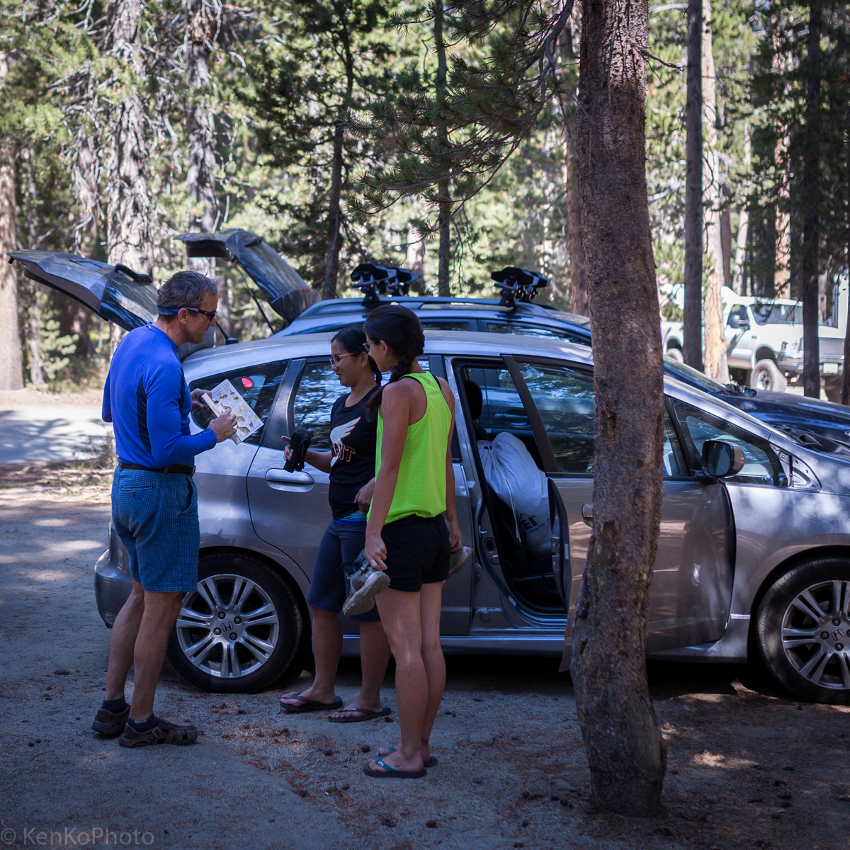
Tim and Francisco searching through the pages. |
|
Tim sharing the ringtail discovery with Sheila and Sara. |
|
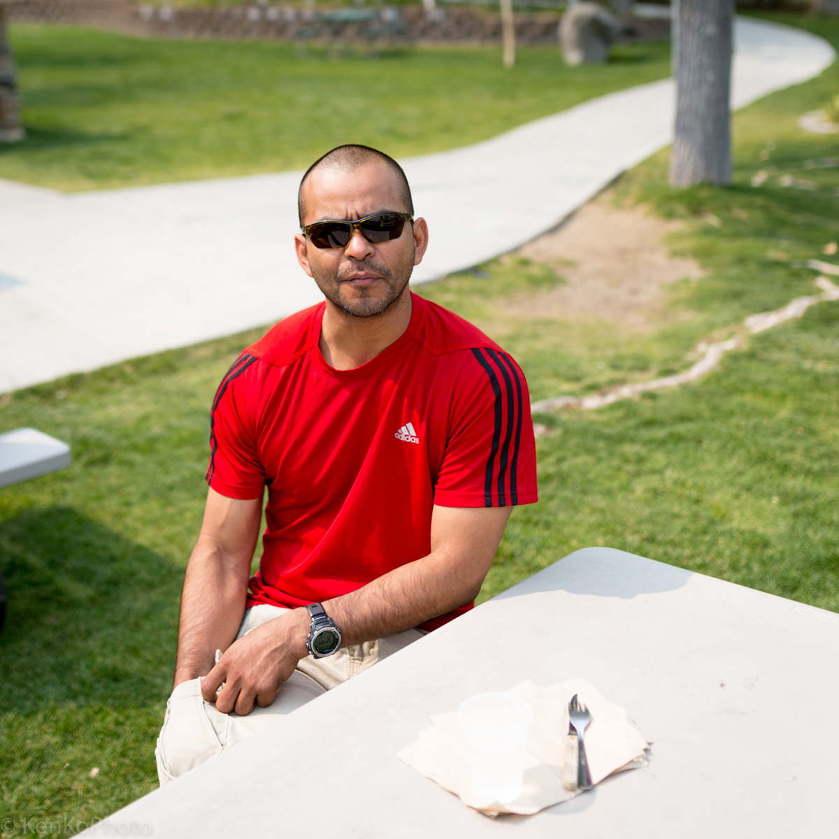
Francisco at lunch.. |
|
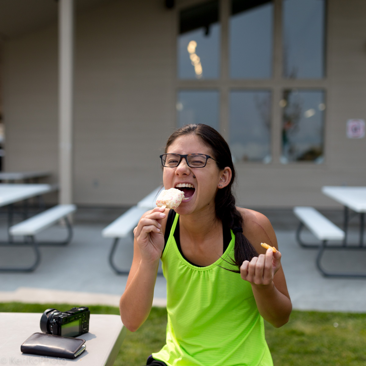
Sara excited about a Strawberry Shortcake ice cream lunch with fry. |
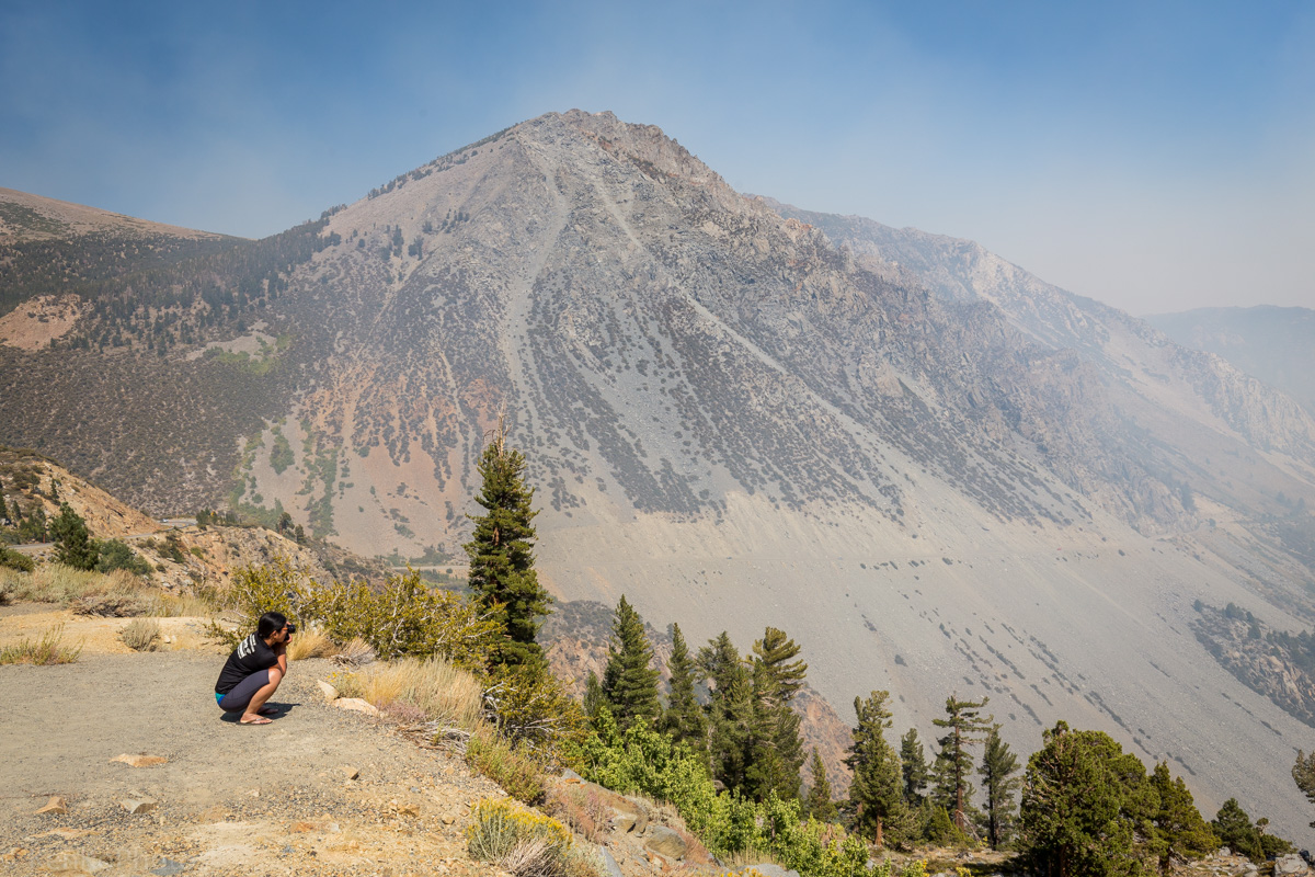
On the way back from ExxonMobile, we stopped to admire the vista point.

|
Vista point as seen on Tioga Pass. |
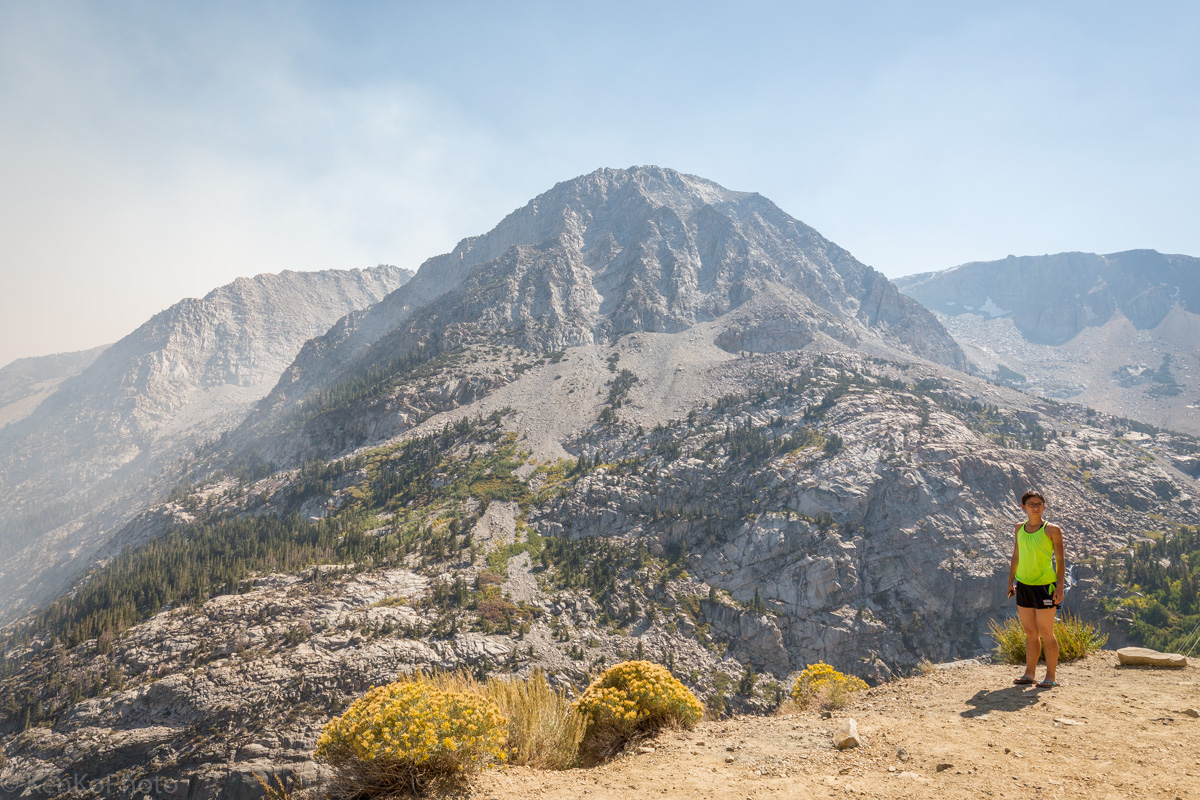
|
Sheila photographing at the vista point. |
|
Sara at the vista point. |
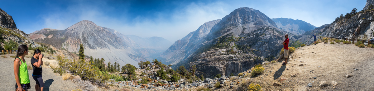
|
Sara, Sheila, Francisco, and Tim admiring the vista point. |